Sustrans’ Covid-19 response map tracks your local active travel provision
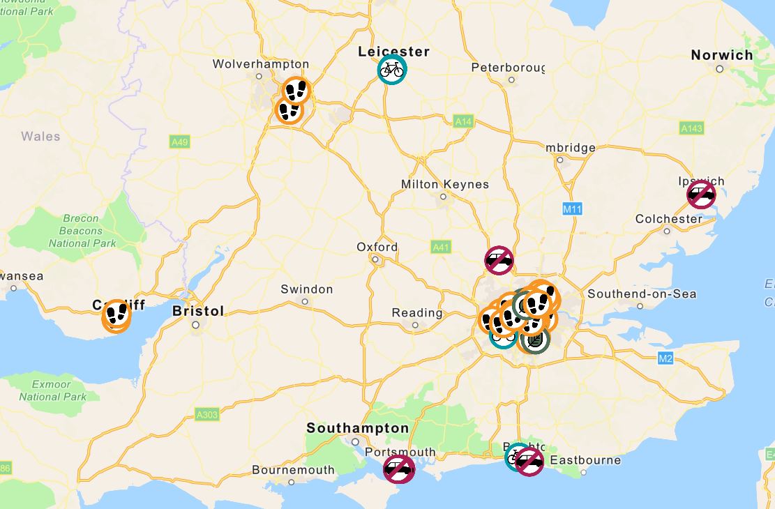
A newly-developed interactive map by active travel charity Sustrans’ is enabling people to view their local authority’s response to the Covid-19 crisis in terms of the provision of safe infrastructure for walkers and cyclists.
With public transport use discouraged where possible at present, the need for fresh infrastructure to pick up the overspill in commuters has been outlined by central Government, with cities thus far tending to take the lead on converting space. Liverpool, Leicester, London, Manchester and Leeds are among those with hotspots on the interactive map.
Changes plotted on the map include the creation of temporary cycle lanes, widening of footpaths to assist the two metre guidance, streets closed to motor traffic and area with newly reduced speed limits.
Cycling Industry executives have been keen to lobby Government to speed up what many see as overdue trials on streets before motor traffic returns to normal levels. With a boom in bike sales seeing the trade suddenly concerned about stock shortages it is evident that the number of new cyclists taking to the roads presents an opportunity for authorities to trial infrastructure and disciver the pros and cons of a modal shift toward active travel forms.
Cycling UK recently found that a third of people would consider making a change from car use to cycling and walking in a post Covid-19 world. A separate poll found that 82% of parents felt comfortable undertaking family cycling trips with some of the lockdown conditions, including traffic calming in place.
Notably, Sustrans isn’t just providing a glossy map, it’s data collecting, asking users to fill in short forms to explain how the changes are working for them and their wider society. It is expected that these responses will later form the foundation of the charity’s planning work and future policy.
If you’ve something to add to the Sustrans map, or you’d like to check your local authority’s progress, head to the map here. The page is tracked on social media under the #spacetomove hashtag.